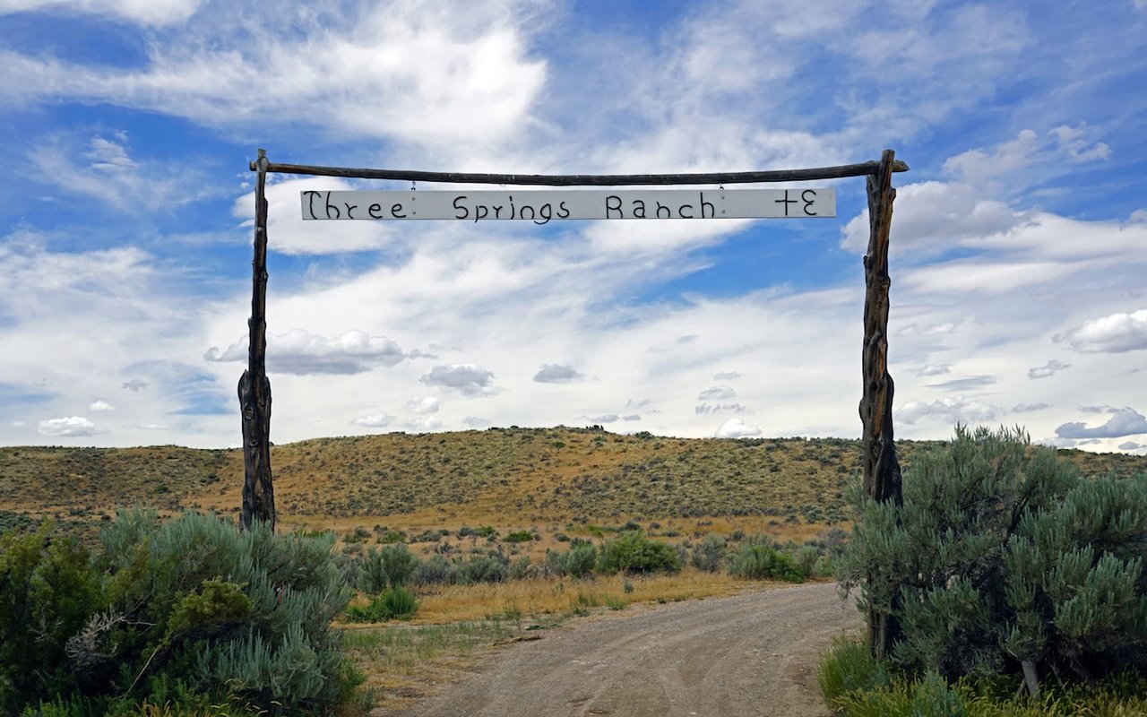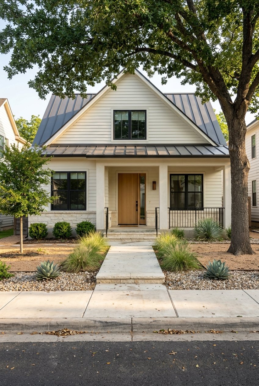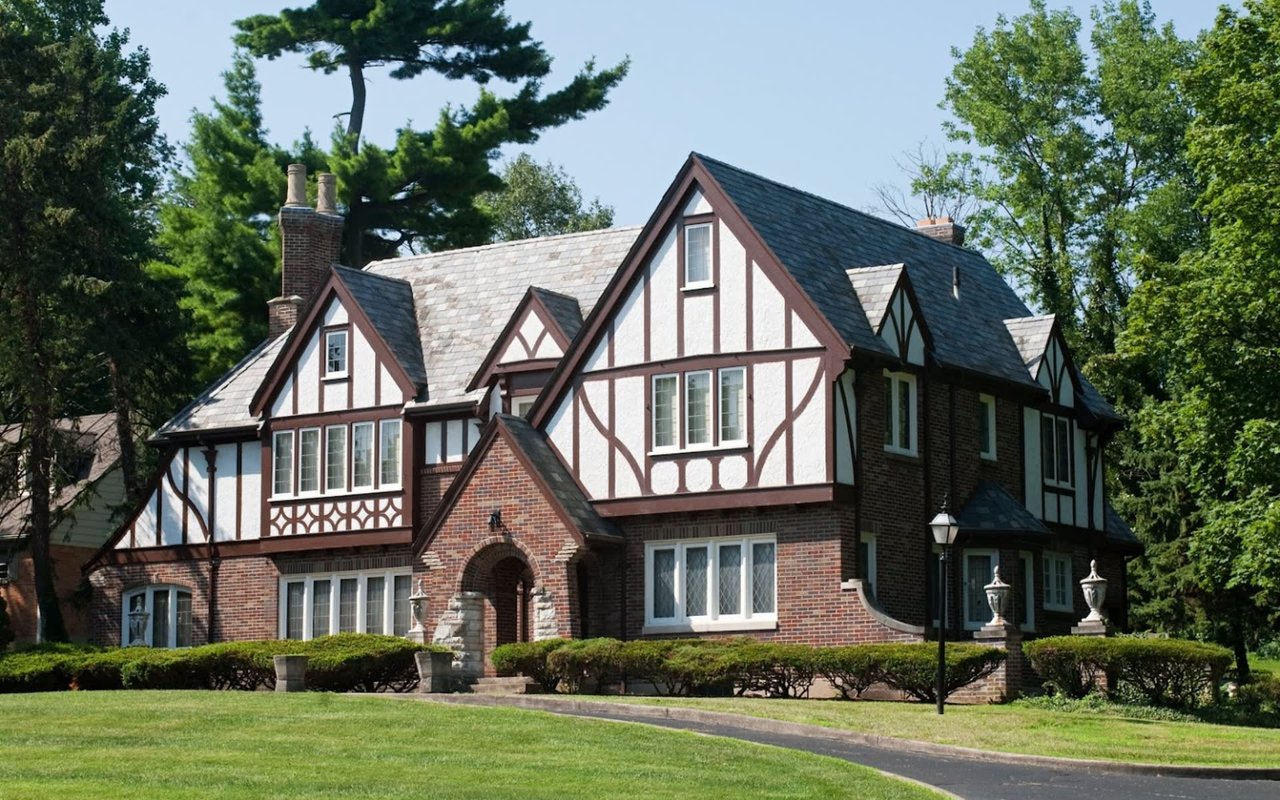
Considering a new build or major addition in Westlake Park? The same mature oaks that make the Hill Country beautiful also shape what and where you can build. Add steep slopes, impervious cover limits, and setbacks, and the “big flat yard” you imagined may turn out to be a narrow buildable envelope. In this guide, you’ll learn how tree protections, slopes, impervious cover, and setbacks work together on Westlake lots, and how to plan a smooth path from concept to permit. Let’s dive in.
What rules apply on Westlake lots?
Before you sketch a footprint, confirm who regulates your property. In and around Westlake, a single lot can fall under multiple authorities. You may be inside the City of West Lake Hills, in the City of Austin or its extraterritorial jurisdiction, or in unincorporated Travis County with added environmental overlays.
Why this matters: each jurisdiction sets its own rules for heritage trees, impervious cover, slope disturbance, and setbacks. Your first step is to identify the governing code, then build your plan around it.
To verify jurisdiction and overlays, you can:
- Check parcel boundaries and taxing authority with the Travis Central Appraisal District (TCAD).
- Confirm municipal boundaries through the City of West Lake Hills or, if applicable, City of Austin and Travis County mapping resources.
- Review FEMA floodplain maps and any Edwards Aquifer recharge constraints that may add permitting steps.
What counts as a heritage tree?
“Heritage” or “protected” trees are mature native trees that local codes safeguard. Definitions vary by city. Some use trunk diameter and species lists to determine which trees are protected and what it takes to remove them.
If you plan to remove a protected tree or disturb its root zone, expect a permit process. Municipal reviews often require a tree inventory, an arborist report, photos, and a mitigation plan that may include replacement plantings, credits, or in-lieu fees.
On-site, you’ll likely need root-protection fencing, restricted access zones, and limits on grade changes or trenching within critical root zones. Municipalities can issue fines, stop-work orders, or require additional mitigation if a protected tree is damaged or removed without approval.
How trees shape your design
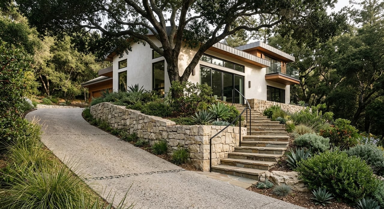
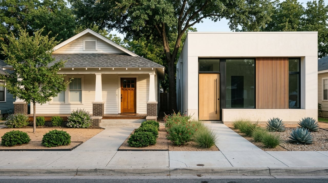
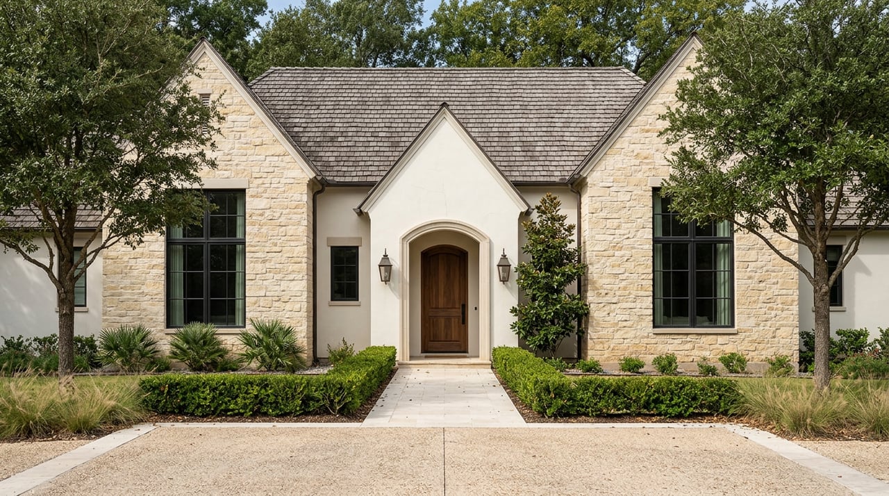
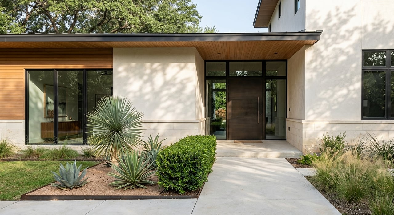
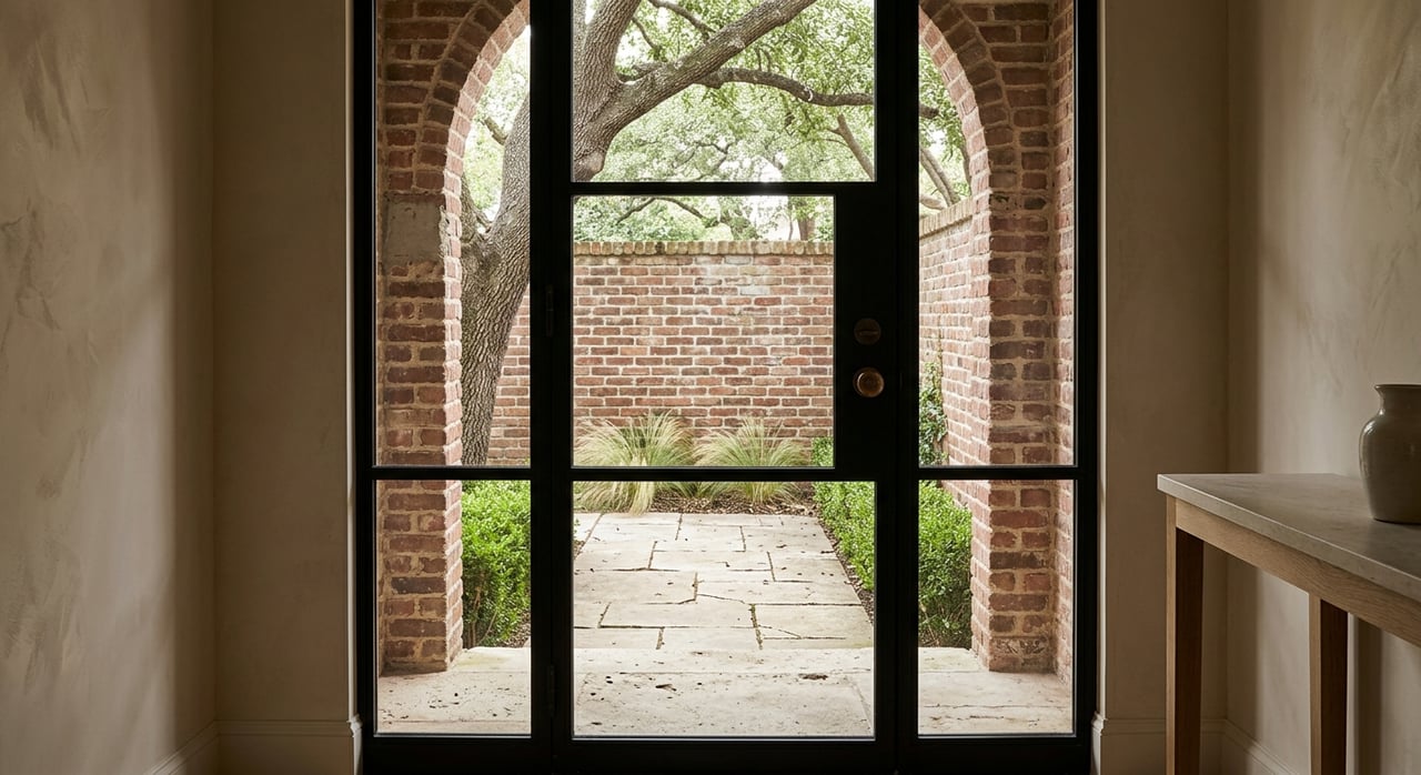
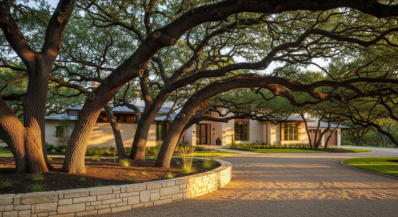
Large oaks and other mature trees often dictate siting. You may rotate a house to clear root zones, shift a driveway to avoid a trunk flare, or route utilities along gentler contours to stay outside protection areas. Preserving trees can increase design complexity, but it typically produces a more site-sensitive home and maintains neighborhood character.
Removing a heritage tree can be possible with the right permits and mitigation. It takes time, documentation, and thoughtful design changes to balance your goals with local standards. Bring an ISA-certified arborist into the process early so your architect and civil engineer can plan with accurate data.
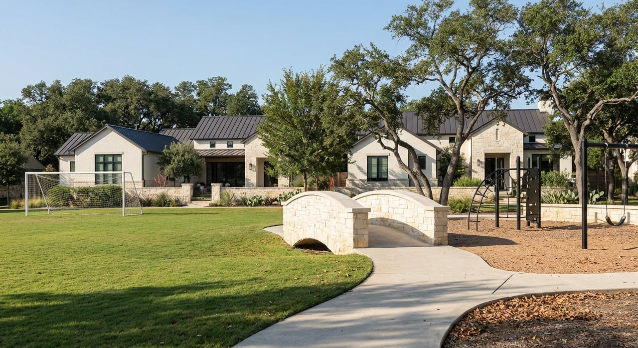
Slopes and hillsides: design around the land
Steep terrain defines much of the Westlake experience. Slope is not just an aesthetic factor; it changes engineering, drainage, and what you can touch. On steeper sites, jurisdictions often limit how much area you can disturb and require geotechnical reports for any significant grading or structures.
Expect erosion and sediment control measures during earthwork. Some codes also restrict new impervious surfaces on steep slopes, which can narrow where a driveway or pool can go. Adding square footage or reworking grades often triggers a fresh geotechnical and drainage review.
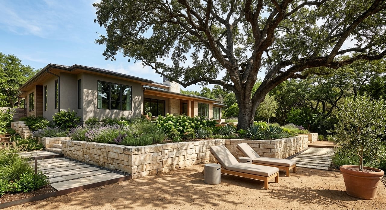
Common design responses include stepped floor plates, pier or caisson foundations instead of full slabs, and carefully engineered retaining walls and terraces. Driveways and utilities are best aligned with gentler contours to reduce cut-and-fill and protect tree roots. Where allowed, permeable paving and reduced-width surfaces can help manage runoff.
Impervious cover and setbacks: the buildable envelope
Impervious cover is any surface that prevents water from soaking into the ground. Roofs, driveways, patios, pools, and even compacted gravel can count. Local rules cap impervious cover to protect water quality in Hill Country watersheds and sensitive recharge zones.
During permitting, the municipality will calculate your existing impervious cover and proposed increases. Some jurisdictions treat pervious pavers differently if installed to specific standards, and a few offer credits for features like rainwater harvesting, green roofs, or bioretention.
Setbacks are separate and come from zoning. Front, side, and rear setbacks set the minimum distance from property lines. You may also see additional setbacks near creeks, floodplains, or critical environmental features. Together with tree protection areas and slope limits, setbacks define your true buildable envelope.
To maximize buildable area while respecting these limits, you can:
- Consolidate parking courts and reduce driveway width.
- Use permeable surfaces where allowed to lower runoff impacts.
- Cluster the footprint to avoid protected trees and steep zones.
- Incorporate stormwater practices that may qualify for credits in some jurisdictions.
Due diligence: your first 30 days
Strong planning early saves you time, money, and redesigns. Here is a buyer-friendly sequence that sets up a successful project:
- Confirm jurisdiction and applicable codes for tree protection, impervious cover, slope disturbance, and setbacks.
- Order a current boundary and topographic survey showing trees, contours, easements, creek lines, and any mapped floodplains.
- Commission an official tree inventory with species and caliper measurements from an ISA-certified arborist.
- Review the recorded plat, deed restrictions, or HOA guidelines that may be stricter than municipal code.
- Check for Edwards Aquifer recharge overlays or other environmental constraints.
Then, line up the professional studies you will need:
- Arborist report detailing tree health, protection zones, recommended removals, and mitigation options.
- Geotechnical report to evaluate slope stability and foundation recommendations if your site has relief or escarpments.
- Civil/site plan and drainage study to support permit review and coordinate grading, walls, and stormwater.
- Structural engineering for alternative foundation systems that minimize cut-and-fill where appropriate.
Timelines, costs, and risk management
Permits for tree removal, grading, and building can take weeks to months, depending on jurisdiction and seasonal backlogs. Proposals near protected trees, steep slopes, or sensitive buffers often require more review time. Variances can extend timelines further.
Preserving trees and building on slopes typically raises professional fees and construction complexity. You are trading straightforward dirt work for precision siting, specialized foundations, and patient sequencing. On the other hand, clearing mature canopy through unpermitted work can trigger fines, mandatory mitigation, and stop-work orders that delay projects and damage neighborhood goodwill.
The best risk management is disciplined planning. Use surveys and reports to establish a realistic envelope before you finalize offers or draw detailed plans. Design to the site you actually have, not the one you imagined from the street.
Buyer scenarios: what to expect
If your dream lot is wooded and sloped, expect the buildable area to be smaller than the acreage suggests. You may pivot to a multi-level plan, relocate the garage, or tighten the driveway loop to preserve trees and meet impervious cover caps.
If you want to add a pool or guest house, focus first on setbacks, slope thresholds, and root protection zones. A compact footprint and permeable hardscape can make the difference between approval and redesign. Minor repositioning can unlock compliance without sacrificing the experience you want.
If you are replacing an older home, do not assume the previous footprint or driveway is grandfathered for new work. Updated rules, environmental overlays, and modern review standards often apply to redevelopment, especially if you expand or regrade.
A practical path forward
- Start with jurisdiction confirmation and a tree-and-topo survey.
- Add an arborist and geotechnical engineer to your early team.
- Map a conservative envelope that clears tree protection zones, respects setbacks, and aligns with slope constraints.
- Iterate with your architect and civil engineer to refine the footprint, grading, and stormwater plan.
With the right prep, you can honor Westlake’s landscape and still achieve a thoughtful, modern home. If you want a second set of eyes on a lot or need a private view of off-market options that fit a realistic envelope, reach out. As a boutique brokerage with deep local relationships, Nina Seely can help you source, vet, and negotiate the right property—and assemble the design-and-build team to bring it to life.
FAQs
What is a heritage or protected tree in Westlake Park?
- It is a mature tree defined by local ordinance, often based on trunk size and species, that requires permits, documentation, and mitigation before removal or significant disturbance.
How do slopes limit new construction in Westlake Park?
- Steeper slopes trigger geotechnical review and grading limits, increase foundation and retaining-wall needs, and reduce the size and location of feasible building pads.
How does impervious cover affect my house and driveway?
- Local rules cap hard surfaces like roofs and paving to protect water quality; exceeding caps can force redesigns or require mitigation with stormwater features.
Do setbacks include tree protection areas or creek buffers?
- Not necessarily. Setbacks are measured from property lines, while tree protection zones and stream buffers can add separate, overlapping limits on where you can build.
Can I remove a large oak to expand my footprint?
- Possibly, but you will likely need a permit, arborist documentation, and mitigation through replacement or fees; approvals depend on your jurisdiction’s ordinance.
Who should I hire first for a Westlake build?
- Start with a boundary/topographic survey and an ISA-certified arborist. Those findings guide your architect, civil engineer, and, if needed, a geotechnical engineer.