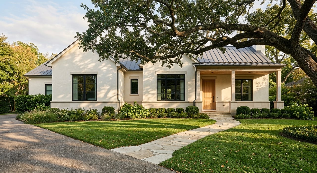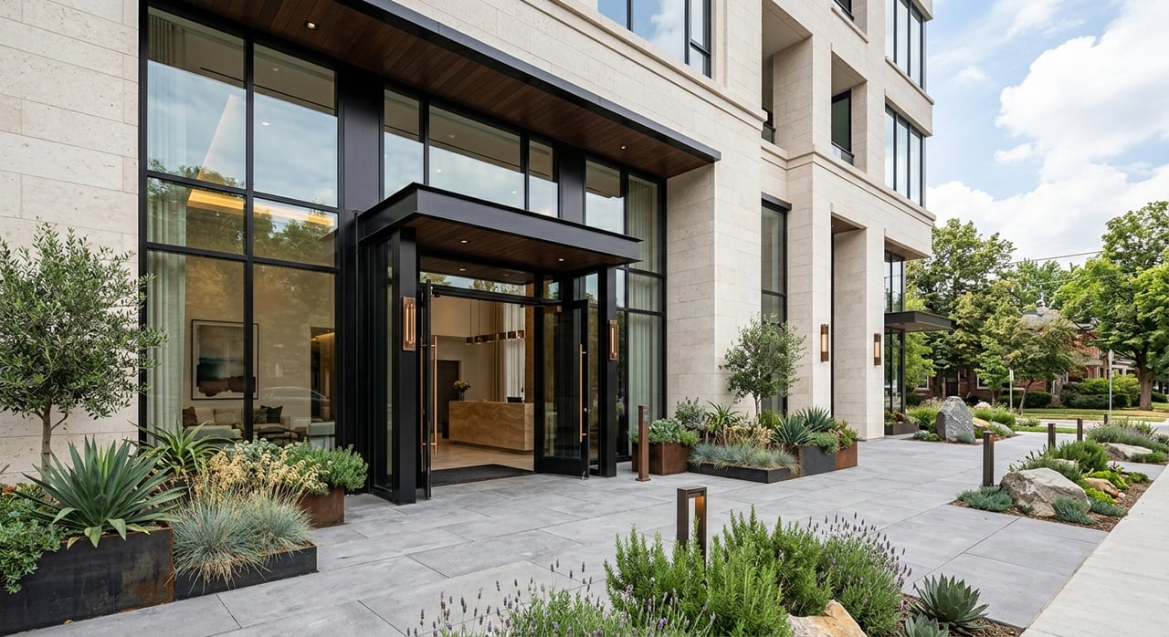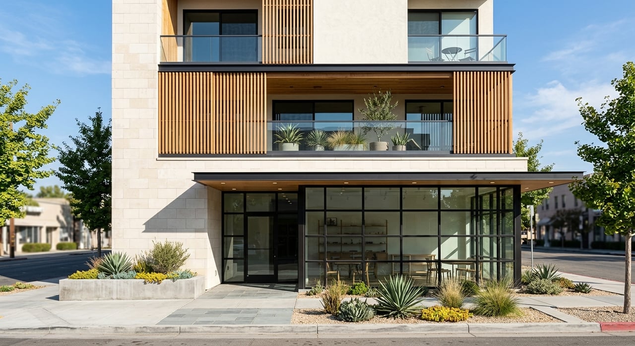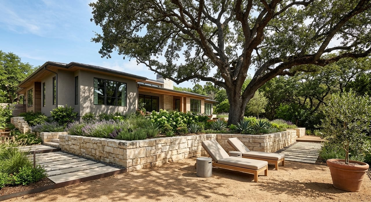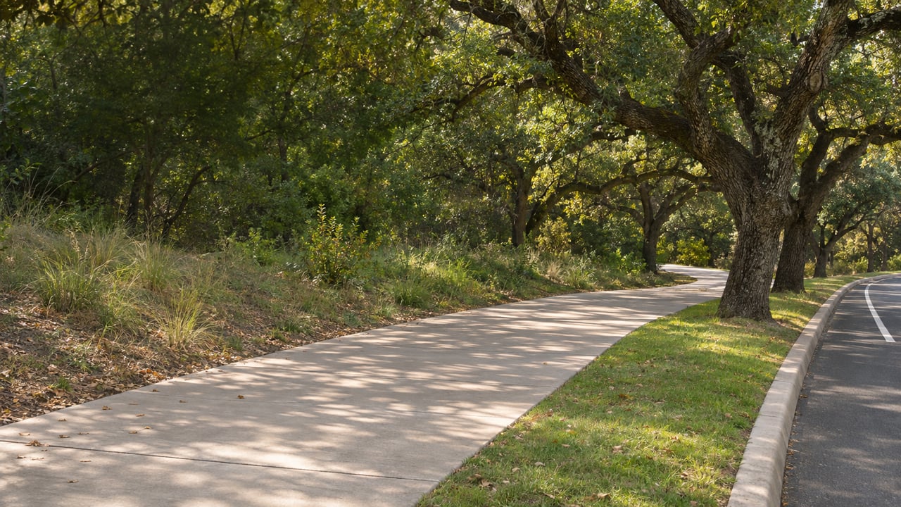
Between West 29th and West 31st Street, a 12-foot shared-use path runs along the west side of N. Lamar Boulevard. Next to it is a separate 10-foot bike path in terracotta, running from 30th½ Street down to West 29th. Even this new, the colors make the two lanes easy to tell apart, and anyone who walked this stretch before 2026 will remember a narrow sidewalk with traffic going past at arm's length.
These are the newest two blocks of the Shoal Creek Trail on the eastern edge of Old West Austin. They also show what the rest of this stretch is going to look like. South of 31st Street, the city's plans keep the trail next to Lamar. They don't return it to the creek bank that failed in 2018.
Two Blocks, Finished Three Months Early
The City of Austin's Shoal Creek Trail Connectivity Gaps page describes the work between West 24th and West 34th as "the last major gaps" between Lady Bird Lake and US 183. It splits them into three pieces. The Middle Gap, from 29th to 31st, was finished in July 2026, three months ahead of schedule. The city's earlier forecast had construction starting in November 2025 and lasting about a year.
The paths are only part of the project. Here is the rest:
- A new crossing on the north side of West 31st Street at N. Lamar
- A bus stop moved to 3100 N. Lamar Blvd.
- Changes to the median and turn lanes
- Better pedestrian and bicycle space on both sides of Lamar
Shoal Creek Conservancy, which worked on the project with the city, held a celebration with the city on Aug. 22. The event also marked the neighborhood bikeway improvements that link up with the trail.
South of 29th, the Detour Has Been in Place Since 2018
The new path only matters as far as it connects, and to the south it connects to a detour that is now more than eight years old. On May 4, 2018, a slope failure damaged the trail and a wastewater line, and the city closed the original trail for safety. Since then, people walking that stretch have followed the paved sidewalk on N. Lamar along the east side of the creek. Limestone stairs then take them back to the west-bank trail, south of the slide and north of Shoal Creek Boulevard. The city's slope failure detour page describes this as the current route. The city's parks closure list still shows the 24th-to-29th segment along N. Lamar as "Closed Indefinitely."
The city's long-term fix for this South Gap, which runs from West 24th Street to 2800 Shoal Creek Blvd., also follows Lamar. The proposal adds a new trail along the N. Lamar corridor from the West 24th Street underpass to the trailhead and parking area at Shoal Creek Boulevard. That links to the existing trailhead east of Gaston Avenue.
The plan has changed since its 2024 draft. That draft would have made the southern Shoal Creek Boulevard bridge one-way northbound for cars. After public feedback, the revised plan keeps two-way traffic on Shoal Creek Boulevard. It adds a walking lane on the north side of the southern bridge, a raised crossing and shared-lane bicycle markings. The Conservancy lists the South Gap as still in design. The city says construction funding has been found for both the South and Middle gaps. KUT's November 2025 report on the Lamar gaps explained how the 24th Street extension fit into the larger project.
The Pease Park Closure Adds More Lamar Sidewalk
A second closure, unrelated to the landslide, puts more of this route on Lamar for now. Since April 27, Austin Parks and Recreation has had the trail closed between Shoal Creek Boulevard and the Janet Fish Bridge in Pease Park. Crews are resurfacing the trail and restoring accessibility on what the Conservancy calls a "popular stretch." The detour uses the sidewalk on the west side of N. Lamar between Shoal Creek Boulevard and 29th Street.
The city's first estimate had the work done in late June. The Conservancy says permitting delays and crew availability pushed the estimated end date to November 2026. The Conservancy's trail closures page is the place to check whether it has reopened before a weekend loop.
For now, the walk north from Pease Park goes like this:
| Segment | Status this November | Where you walk |
|---|---|---|
| Shoal Creek Blvd. to Janet Fish Bridge, Pease Park | Resurfacing, estimated through November 2026 | West-side Lamar sidewalk to 29th Street |
| South Gap, W. 24th to 2800 Shoal Creek Blvd. | Closed since the 2018 landslide; replacement in design | Lamar sidewalk east of the creek, limestone stairs back to the west bank |
| Middle Gap, W. 29th to W. 31st | Finished July 2026 | 12-foot shared-use path and 10-foot terracotta bike path on the west side of Lamar |
| North Gap, W. 31st to W. 34th | Preliminary engineering funded | Existing route |
Once the Pease resurfacing is done, the stretch through the park returns to the creek. The South Gap and Middle Gap stay on Lamar, both under today's detour and under the plans meant to replace it. The North Gap is being studied as a parkland trail.
North of 31st, Only the Engineering Is Funded
The North Gap, from West 31st to West 34th, is the least developed of the three. The city says preliminary engineering for the parkland trail section is funded. Construction money for that section is not yet identified, and neither is funding for a wider North Gap sidewalk. The updated plan sends the North Gap's West Segment to a Preliminary Engineering Study. The 12-foot trail drawn for this section in the 2024 design is a concept for now, not a commitment to build it.
So the new terracotta lane works best for short trips this winter: a ride between 29th and 31st, the walk to the moved bus stop at 3100 N. Lamar, or crossing at the new 31st Street signal. It doesn't yet connect to a finished trail at either end.
Seiders Springs, Where the Creek Is Getting Attention
Construction has the trail along Lamar, but much of the Conservancy's work on the creek itself this fall is at Seiders Springs Park. The city stabilized the creek banks there in October 2025. Since then, crews and volunteers have added native plants, set up grow zones, removed invasive plants and put up park signs. On Oct. 8, Conservancy volunteers mulched and tilled a new tree-planting site, removed small invasive trees and weeded the wildflower meadow. The Conservancy expects larger planting workdays in the coming months. Its restoration log tracks the work as it goes.
The Conservancy has scheduled a guided Shoal Creek Ecology Tour at Seiders Springs Park for Saturday, Dec. 5, from 9 to 11 a.m. The event page opens registration to anyone after Nov. 13.
On the Calendar Through December
The Conservancy's events page has volunteer dates almost every week through the holidays. For most of them, the work location is listed as to be determined or will be sent to people who register.
- Friday, Nov. 20, 8 to 10 a.m. "Plirding" with Travis Audubon, a volunteer cleanup on the Shoal Creek Trail. The meeting point goes out to registered volunteers.
- Thursday, Dec. 3. Rain-garden workday.
- Saturday, Dec. 5, 9 to 11 a.m. Ecology Tour at Seiders Springs Park.
- Sunday, Dec. 6. Riparian restoration workday.
- Thursday, Dec. 10. Rain-garden workday.
- Saturday, Dec. 12. Trail cleanup.
- Friday, Dec. 18. Trail cleanup.
The schedule for the Lamar side depends on two things: when the Pease resurfacing finishes and when design work on the South Gap is done. Until then, the West 24th Street underpass is the entry point for the 2018 sidewalk detour, and the new paths start at 29th Street.
Our work at Legends Real Estate means paying close attention to the streets around Pemberton Heights, and that includes this half mile of Lamar. If you'd like to talk through what the South and North Gap plans could mean for the blocks closest to the creek, we're happy to go over it with you. Work With Us.